
Engineering automated QA/QC processes for geospatial data with Python and SQL, Geographic Information Science (GIS), and identifying/interpreting features in satellite imagery are my specialties. In my ten years at ORNL, I have worked on various projects related to detecting features in satellite imagery, developing automated models to detect buildings damaged by natural and man-made disasters, and building national-level datasets for critical US infrastructure. I am passionate about leveraging my diverse skill sets to help science create a better world for the people living in it.
After work I enjoy birding, backpacking, and beekeeping.
Links
Publications
Jul, 2025
ORNL Report
Oak Ridge National Laboratory Small Vessel, non-AIS Arkeus HSOR Detection Analysis
News

May 23, 2022
7 MIN READ
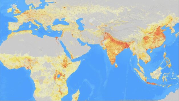
Public release of ORNL global population distribution data aids humanitarian support